NIMBO (10m) Traceability Layer
Ensure temporal consistency and validate pixel provenance in your Nimbo Basemaps.
The Traceability Layer (10m) is a specialized metadata raster available for our 10m monthly basemaps. While Nimbo’s algorithms prioritize cloud-free rendering by sometimes borrowing pixels from previous months, this layer provides total transparency regarding the acquisition timeframe of every single pixel displayed.
Technical Specifications
Section titled “Technical Specifications”| Feature | Details |
|---|---|
| Service URL | ⚠️ Access for enterprise plan only |
| Format | PNG (RGB) |
| Zoom Levels | 0 to 18 |
| Coordinate System | Web Mercator (EPSG:3857) |
| Coverage | Global Land (85°N to 85°S) |
| Tile Size | 256x256 px |
Parameters:
year: Four-digit year (e.g.2024)month: Month number (1–12)layer_name: Basemap identifier. Use6for the Traceability Layer (10 m).z,x,y: Standard XYZ tile coordinates.kermap_token: Your API authentication token.
How it works ?
Section titled “How it works ?”The Traceability Layer (10m) is served as a TMS or WMTS overlay that matches the geometry of the visual basemaps exactly. It encodes the “age” of each pixel into specific discrete classes.
This allows automated systems and GIS analysts to:
- Filter data: Exclude pixels that are too old for specific analyses.
- Validate change detection: Ensure observed changes belong to the current month.
- Audit data quality: Visualize the temporal composition of the mosaic.
Legend & Symbology
Section titled “Legend & Symbology”The layer uses a 5-class color scheme to indicate how far back in time a pixel was acquired relative to the requested basemap month.
| Class ID | Timeframe | Description | Color | Color Code (RGBA) |
|---|---|---|---|---|
| 1 | Current month | Pixel acquired within the requested month. | Dark Green | rgba(26, 152, 80, 1) |
| 2 | > 1 month AND < 2 months | Pixel reused from the previous month (M-1). | Light Green | rgba(145, 207, 96, 1) |
| 3 | > 2 months AND < 3 months | Pixel reused from two months prior (M-2). | Yellow | rgba(254, 224, 139, 1) |
| 4 | > 3 months AND < 4 months | Pixel reused from three months prior (M-3). | Orange | rgba(252, 141, 89, 1) |
| 5 | ≥ 4 months | Pixel reused from four months prior or older. | Red | rgba(215, 48, 39, 1) |
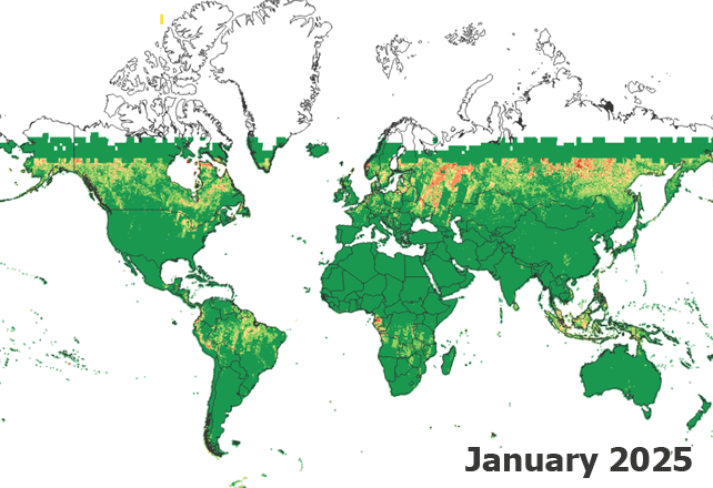
Global Archive & Monthly Coverage
Section titled “Global Archive & Monthly Coverage”The Traceability Layer (10m) is not just a spot-check tool; it is generated systematically for the entire globe. Every monthly basemap produced by Nimbo comes with its corresponding temporal metadata layer.
This allows for consistent monitoring anywhere in the world, enabling you to assess data freshness across vast territories over time.
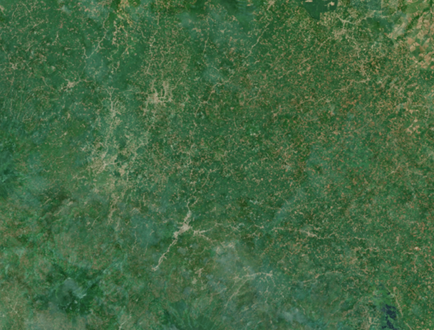
Example: high-precision analysis in Indonesia
Section titled “Example: high-precision analysis in Indonesia”To understand how the Traceability Layer assists in quality control, let’s look at a high-zoom example over Indonesia. This region is notoriously difficult for optical satellite imagery due to persistent cloud cover.
In this scenario, Nimbo’s processing chain reconstructs a cloud-free view by retrieving pixels from previous months to fill gaps.
Visualizing the “Patchwork”:
- Left (Basemap): The user sees a seamless, cloud-free optical image.
- Right (Traceability): The layer reveals the temporal composition. Green areas are fresh data, while orange and red clusters indicate areas where older pixels were retrieved to remove clouds.